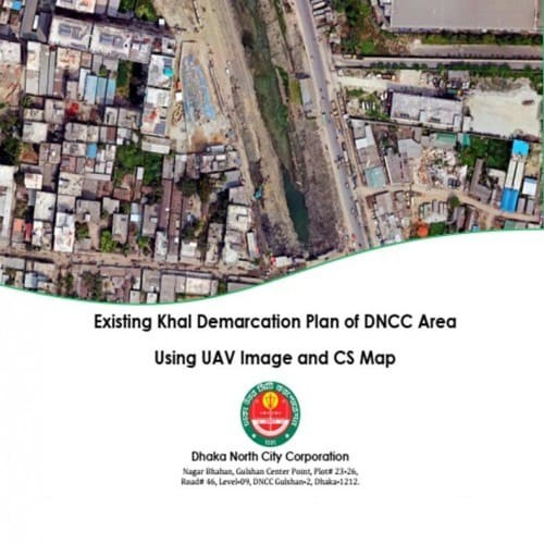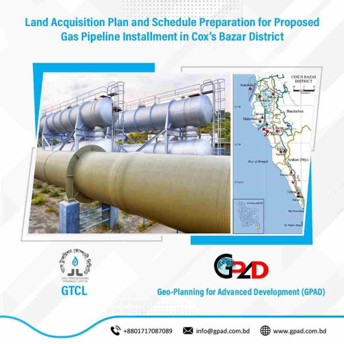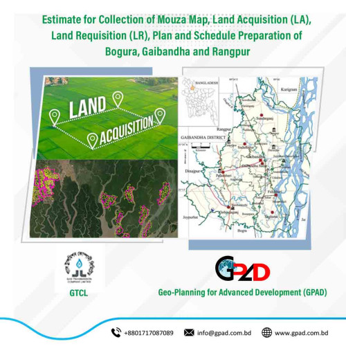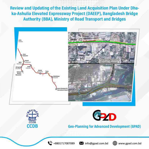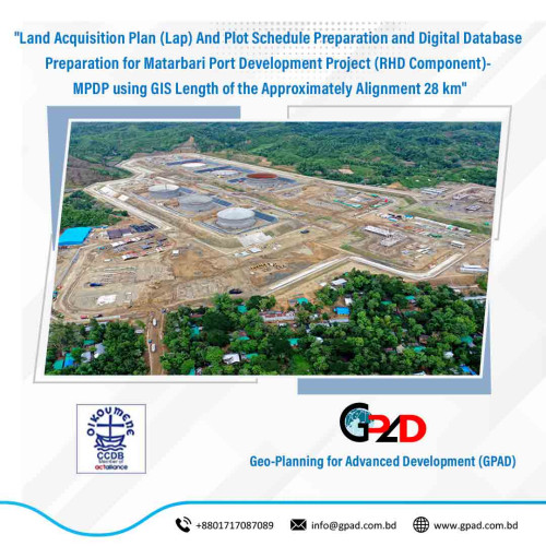
Project Description
The main objectives of the project are details Land Acquisition Plan (Lap) And Plot Schedule Preparation and Digital Database Preparation for Matarbari Port Development Project (RHD Component)- MPDP using GIS Length of the Approximately Alignment 28 km. The scope of the “review and updating of the existing Land Acquisition Plan” works consists of the following tasks:
• Scan Mouza Maps with high quality scanner.
• Geo-referencing of 27 Mouza Sheets
• Digitization of those mouza in ArcGIS platform;
• Preparation of land acquisition plan for the land area to be affected by the project;
• Prepare plot schedule for LAP;
• Process data and prepare digital maps of land to be acquired by the project;
• Preparation of layout plan with appropriate scale if required;
• Submission of Report.
Detailed description of actual services provided by the staff:
• Reconnaissance survey, project design;
• Collection of mouza maps, statistical data and information;
• Mouza Scanning, Georeferencing
• Mouza digitization, spatial adjustment and database preparation
• Land Acquisition Survey;
• Alignment Survey;
• Land Acquisition Plan Preparation;
• Plot Schedule Preparation;
• Preparation and submission of draft final report; and
• Submission of final report and maps.