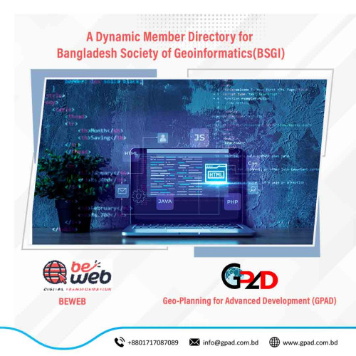
Project Description
BSGI provides ideas on the advancement, dissemination and application of Geo-spatial knowledge through the publication of technologies related to Geographic Information Systems (GIS), Remote Sensing and Photogrammetry; national / international conferences, seminars and workshops. BSGI creates a discussion forum among geo-informatics professionals in government, NGOs or non- governmental organizations to identify solutions to emerging problems in the scope of work. The aim and purpose of the Constitution of BSGI is to promote geo-spatial technology and standards in the country; Support the creation and maintenance of general information dictionaries for access, use and maintenance by data storage and the establishment of national and local physical data infrastructure in Bangladesh.