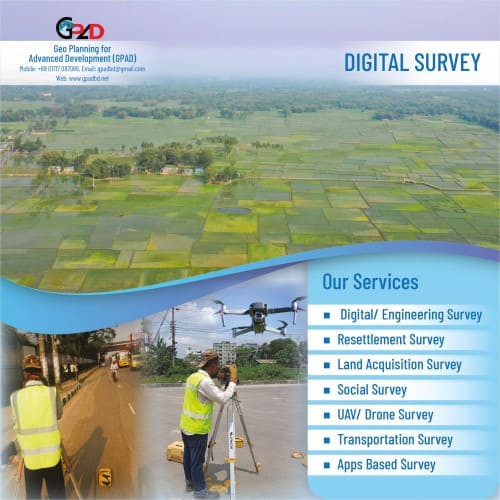
Description
- Land Survey
- Topographic Survey
- Utility Survey and Mapping
- Environmental Survey
- Traffic Survey
- Contour Survey
- X- Section (Cross Section) Survey
- River Bathymetric Survey/ Hydro Survey
- GPS Survey RTK GPS Survey
- Basemap Preparation
- Landuse Survey and Mapping
- Map Preparation
- Database Design and Management (Using Access, SPSS, Visual Basic)
- GIS-based survey including GPS application.
- Image processing and analysis using remote sensing data
- Drone Survey ( 5cm / 10 cm Resolution )
- DSM/DTM
- Orthophoto etc