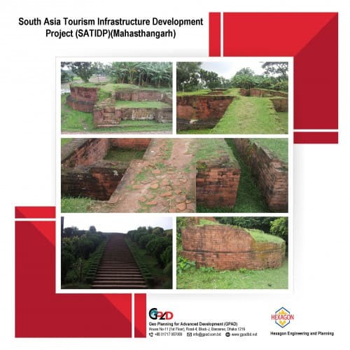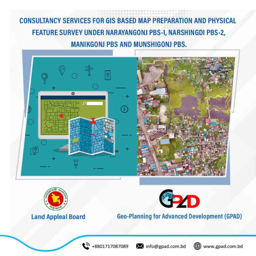
Project Description
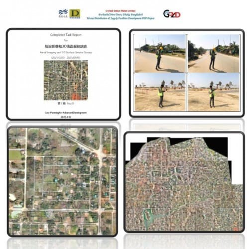
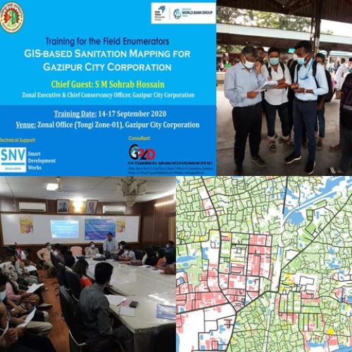
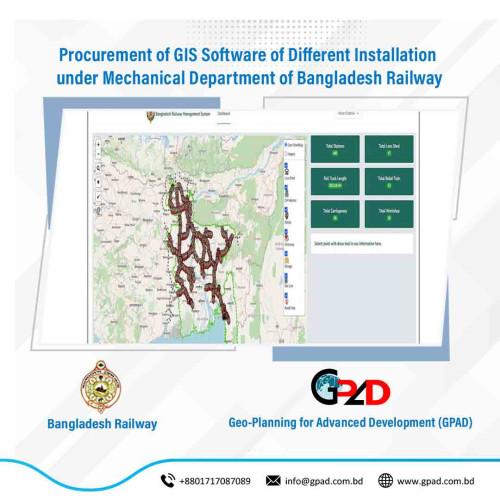
The main objectives of the project were details mapping of the project area including landuse, socio economic features identify and land ownership database. Details are followings:
• To prepare maps to identify location and boundaries of project area,
• To prepare physical feature map of project area,
• To maintain proper and updated database for any map preparation and database development,
• To monitoring and evaluation of project status and key indicators identification,
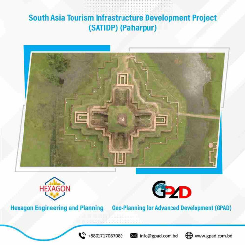
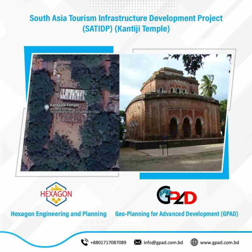
• To prepare Archaeological monuments, archaeological mounds and other heritage features Surface roads, Railways network mapping, Waterways mapping and Surface water bodies mapping.
• Land ownership databased based on mouza and khatian.