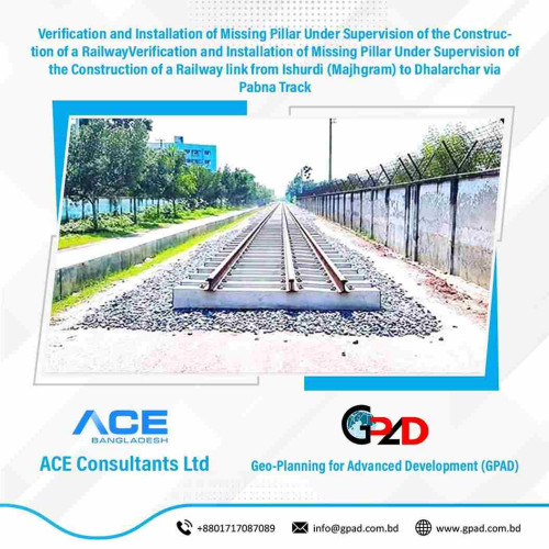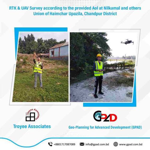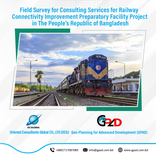
Project Description
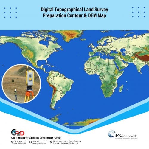
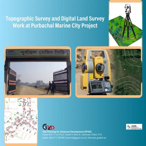
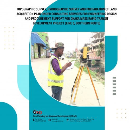
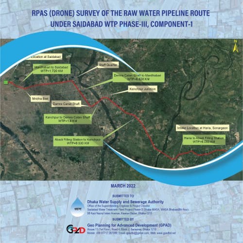
Project Area: 800 sq. km Detailed narrative description of project: Overall objective is to improve the Railway connectivity across the country by identifying and measuring major railways as well as analyzing crossing lines. The specific objectives are: To identify main rail line, to create topographic map of 800 km railway network, to measure short and long bridge, as built drawing of existing bridge & culvert, to analyses cross section & long section of main rail line and Bethemetic Survey of river under the railway network. Detailed description of actual services provided by the staff: Mobilization and Demobilization, Benchmark Installation (300 mm X 300mm X 1000mm), GCP Survey (GNSS Static Method) 3hrs, Leveling Survey, Topographic Mapping Survey (Including the Existing Bridge), Longitudinal Survey for the River, Cross section survey in the river including Existing Bridge, Longitudinal Survey for the Main Rail Line, Cross Sec-tion Survey for the Main Rail Line, Existing Long Bridge Measurement, Existing Short Bridge and Culvert Measurement, Utility Investigation, Survey Data and Drawing Prepara-tion and printing. Survey Report