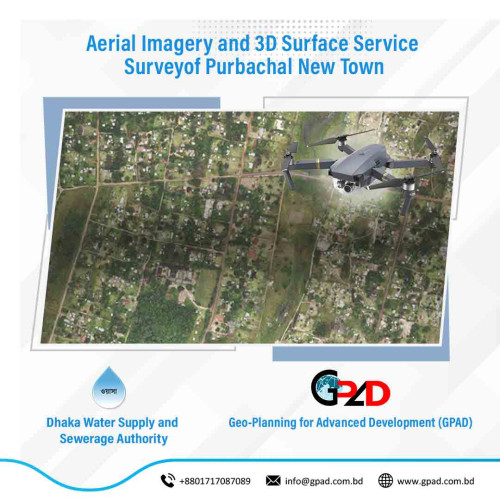
Project Description
The main objective of the project is to conduct Land Survey more or less 160 acres for KDA New Residential Area. Detail survey of the existing physical features and Collection and digitizing of cadastral information (mouza maps) and matching this to the topographic survey. To achieve the main objective, the consultants have to provide services to the followings: • Collection and digitization of RS Mouza maps; • Conduct Physical features and Topographic survey; • Prepare Base-map considering the existing Topographic condition for the Planning/Design base; • Preparation DoE required maps; • Preparation of Plan and report with implementation guideline.