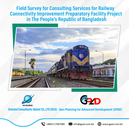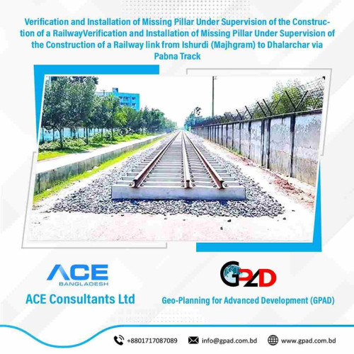
Project Description
The main objective of the project is detail topographic survey, spot levels with traverse stations fixing & surveying for providing approach roads, terminal station, traffic integration area, yards and depot etc. at isolated location in the vicinity of above corridor and cross section survey at 25m interval along the alignment with Total Station and computer AutoCAD and CIVIL 3D drawing. As per requirement of the project, the consultant will undertake the following major activities: • Review the existing Land Acquisition Plan • Updating of the existing Land Acquisition Plan • Prepare Land Acquisition Plan map • Data processing and mapping • Submission of interim and final reports of the works