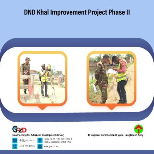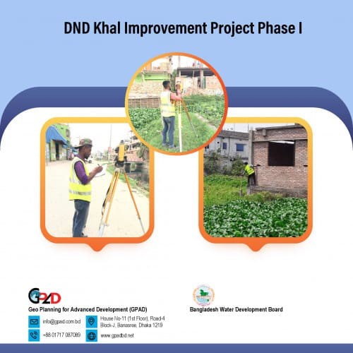
Project Description
The prime objective of the project is to prepare a watershed catchment area analysis to identify the water flow of that specific area. The major objectives of the project are elevation/ RL survey database, catchment area and flow analysis map, khal area demarcation map. The survey area is 10sqkm located at the southern part DND khal project area. Project area part 01 is located at Kadamtoli, Narayanganj and part 02 is located at Fatulla, Narayanganj. As per requirement of the project, the consultant will undertake the following major activities: • Khal Demarcation • Road and drain demarcation • Elevation data collection • Catchment area identification.